
Daniel’s Levada Directory
Levada do Pico do Cardo
Archival documentation — not a current hiking recommendation. Source file on danishome.ch last modified: 2 April 2022
Area
Funchal
Length
7,55 km
Madrei
Pico do Cedro. Madre 1: N 32°42.750 W 16°56.520 ca. 1366 m a.s.l. Madre 2: N 32°42.600 W 16°56.520 ca. 1350 m a.s.l.
Course
Pico do Cedro, confluence with the Levada do Pico do Curral, Vasco Gil, Trapiche Boliqueime, Chamorra, Santa Quiteria
End
North of Santa Quiteria ca. 337 m a.s.l.
Function and use
Vertical levada supplying water to the north-western quarters of Funchal
Access
-
ER-107 (Vasco Gil). The road from Vasco Gil leads up the valley to a locked gate (waste centre, incinerator?)
-
Via the Pico Areeiro and Cedro
-
Scenic road from the Curral valley to the Pico Areeiro and on to Barreira
-
North of Barreira, from the scenic road via the old access path to the confluence of the Levada do Pico do Cardo with the Levada do Pico do Curral
-
Descent from the western feeder of the Levada da Negra from the Pico do Prado (past the water tunnels)
Condition
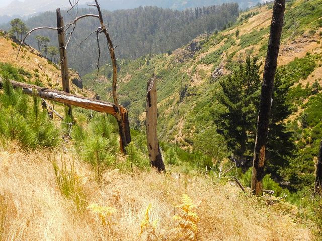
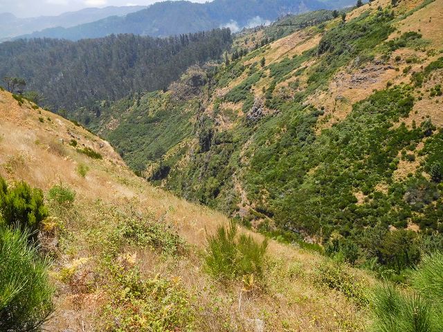
In 2017 the levada was completely overgrown and accordingly dangerous to walk, but thanks to the new scenic road and the many gravel tracks on the lombos one can also work one's way down to the levada from above.
The side branches are no longer all maintained and in use.
At the crossing with the ER-107 I saw nothing that pointed to a levada (piping, possibly?). On the 2016 walk I had already watched the course from the neighbouring lombos. I suspect that the levada now begins below the water tunnels of the Levada da Serra de Santo António, at a spring and possibly in a further water tunnel, then after a short stretch crosses by a bridge to the right bank of the stream and continues there in pipes.
Remarks
Beautiful water tunnels below and west of the Pico do Prado, in the report by the Amigos da Natureza, though I am not sure whether they belong to this levada or to the levada that feeds the Levada da Negra (Levada da Serra de Santo António)
Spider-web levada