
Free Hiking Alternatives in Madeira (Non-PR Trails)
Discover the best free hiking alternatives in Madeira, from scenic non-PR trails to peaceful walks with stunning views, no booking fees, and no hassle.
Audrey Zarlenga··Updated
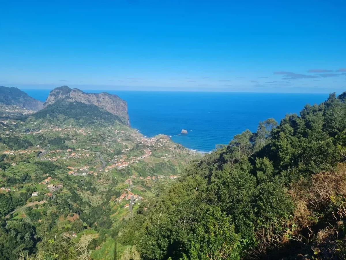
As you might have seen already, many of Madeira’s most iconic walks now require booking and payment, but there are still plenty of beautiful non‑PR routes that remain free, flexible and less crowded. This article explains what “non‑PR” means, how it compares to the official network, and how to explore these alternatives safely.
PR vs non‑PR hikes in 2026
From 1 January 2026, all classified PR trails (the official, numbered routes like PR1, PR6, PR8, PR9, PR11, etc.) require an online reservation and a fee (for non residents) via the SIMplifica system.
These rules were introduced to protect Madeira’s fragile laurel forest (Laurissilva), manage peak‑time crowds and keep popular levadas safer and more orderly.
Non‑PR hikes are all the other paths, levadas and coastal or village routes that are not part of the classified network, so they currently do not require booking or payment, although they are equally stunning in their beauty. These routes are often quieter than the island’s “big five” PR levadas and work especially well if you want to hike spontaneously, skip the busiest classics, or stay flexible — without tickets or time slots.
Many non‑PR options still offer classic Madeira experiences: levada sections, laurel forest, coastal cliffs or village‑to‑village paths, just without the “PR” label or turnstiles.
Best 5 Non PR hiking trails
Vereda do Larano coastal trail (Porto da Cruz – Machico)
A very beautiful and varied, but quite long hiking trail that takes you from the south side to the north side of the island. Contrary to what is indicated on AllTrails, we recommend starting the trail in Machico (the free parking lot) and climbing Pico do Facho first. From there, head towards Boca do Risco, mostly along a flat levada. Via Boca do Risco, you reach the north side, where you will follow a spectacular coastal path towards Porta da Cruz. Once there, the restaurant A Pipa offers delicious food (and strong poncha!) to fortify you after the long hike!
Levada Nova & Levada do Moinho (Ponta do Sol)
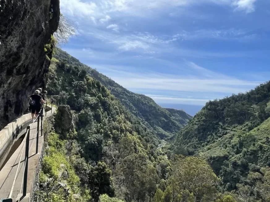
This is a very beautiful circular hike above Ponta do Sol, which combines Levada Nova out and Levada do Moinh and is therefore mostly flat (approx. 50m ascent to Levada Nova). We have classified this hike as family-friendly because it is not particularly demanding - except that you need to be sure-footed and have a head for heights because there are some unsecured, but sufficiently wide, passages.
Expect waterfalls, tunnels and coastal valley views — a phone torch is enough for the tunnels, but good footwear still matters.
Trilho da Vereda da Trompica
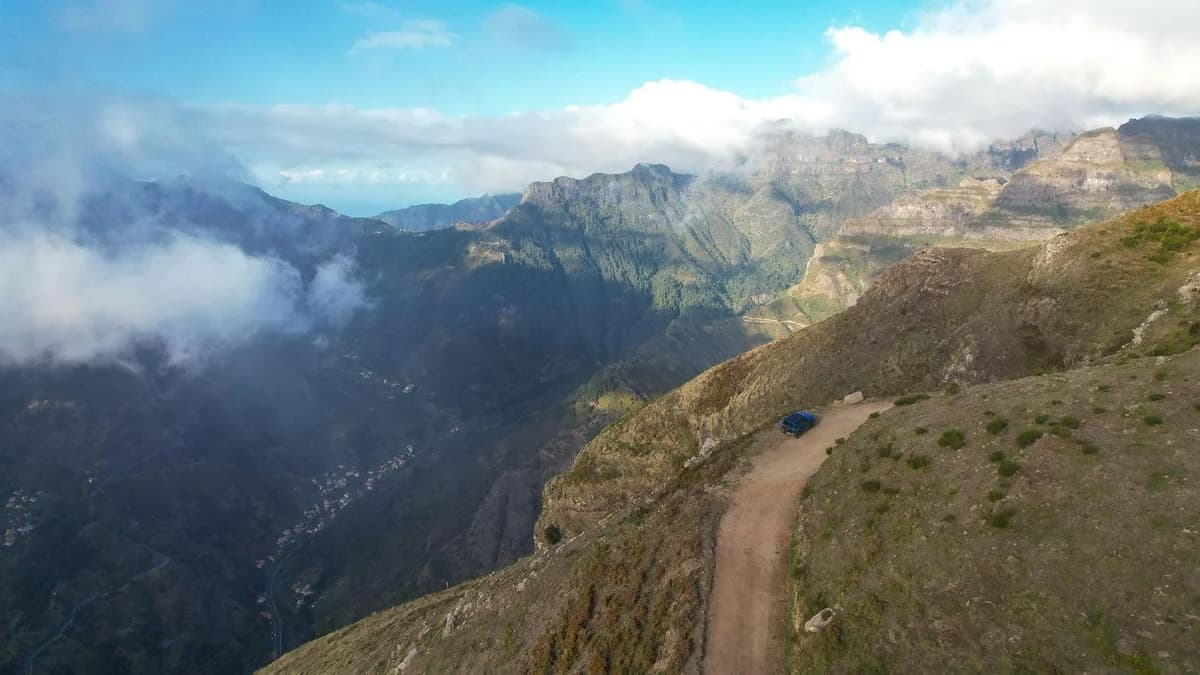
Photo credits: Wikiloc
A varied circular hike through Madeira’s highland scenery, well-suited for hikers looking for a moderately challenging route away from the more popular trails.
Start and end point is the Miradouro Boca da Corrida (Jardim da Serra). From the viewpoint, you already get impressive views over Curral das Freiras (Nun’s Valley) and the surrounding mountain peaks. From the parking area, the trail first follows the path until you reach the point where the circular route begins.
A small tip from experience: The entrance to the loop is not marked and can be easy to miss. It helps to use GPS navigation (for example via AllTrails, which is linked in our app entry) so you can see exactly where to turn.
The main challenge of the hike is the ascent to Chão dos Terreiros at 1,436 metres. The route passes through open mountain heath landscapes and sections of Madeira’s laurel forest. Once you reach the top, you are rewarded with wide views over Campanário, Câmara de Lobos, the south coast, and on clear days also towards the north and west of the island.
Another point where navigation can be helpful: At the highest point of the hike, the continuation of the trail is not immediately obvious. It’s worth checking the GPS map briefly to stay on the right path.
Along the way you’ll get beautiful perspectives of Madeira’s central mountain range, the dramatic valley of Curral das Freiras, and the south-west coastline.
Tip: Due to the elevation and some steep sections, sure-footedness is recommended. Weather conditions can change quickly in this area, so it’s worth checking the forecast beforehand.
The hike also works well as an alternative to PR12, as it starts from the same viewpoint and offers similar views into Curral das Freiras.
Levada dos Piornais
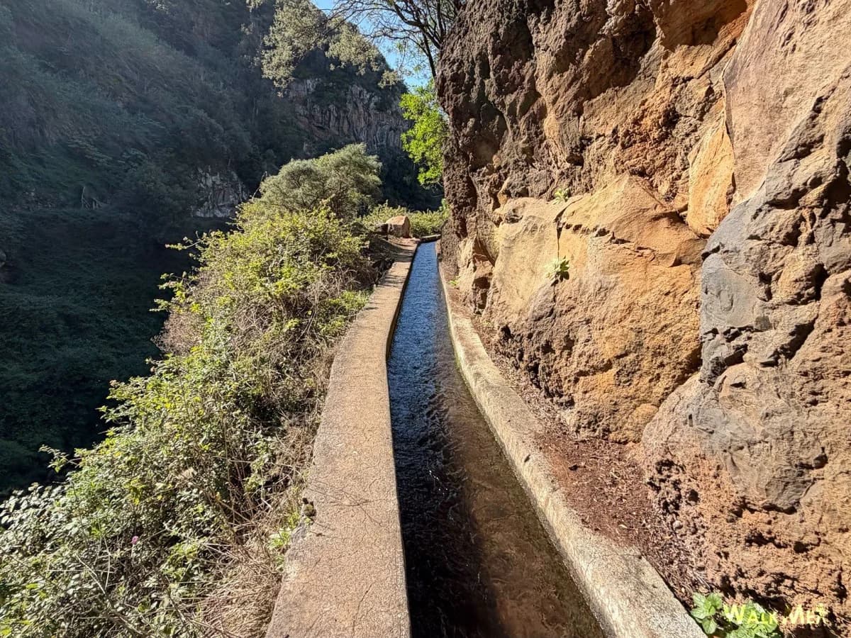
Photo credits: Walkme
The Levada dos Piornais — also known as the “banana walk” because it runs through many banana plantations — leads above the hotel zone of Funchal and always offers marvellous views of the city and the sea. It connects the municipalities of Funchal and Câmara de Lobos over a distance of around 10 kilometres — if you like, you can shorten the tour at any time and turn back. The first section in Funchal is very easy, with no significant incline and is therefore suitable for all hikers. Later on, the path becomes more challenging with steep slopes, impressive valley views and low tunnels carved into the rock — from here on, a head for heights and surefootedness are required.
If you want to take a cosy break along the way, the Casa da Levada snack bar is the perfect place to stop for refreshments.
Arco de São Jorge – Miradouro de São Cristóvão
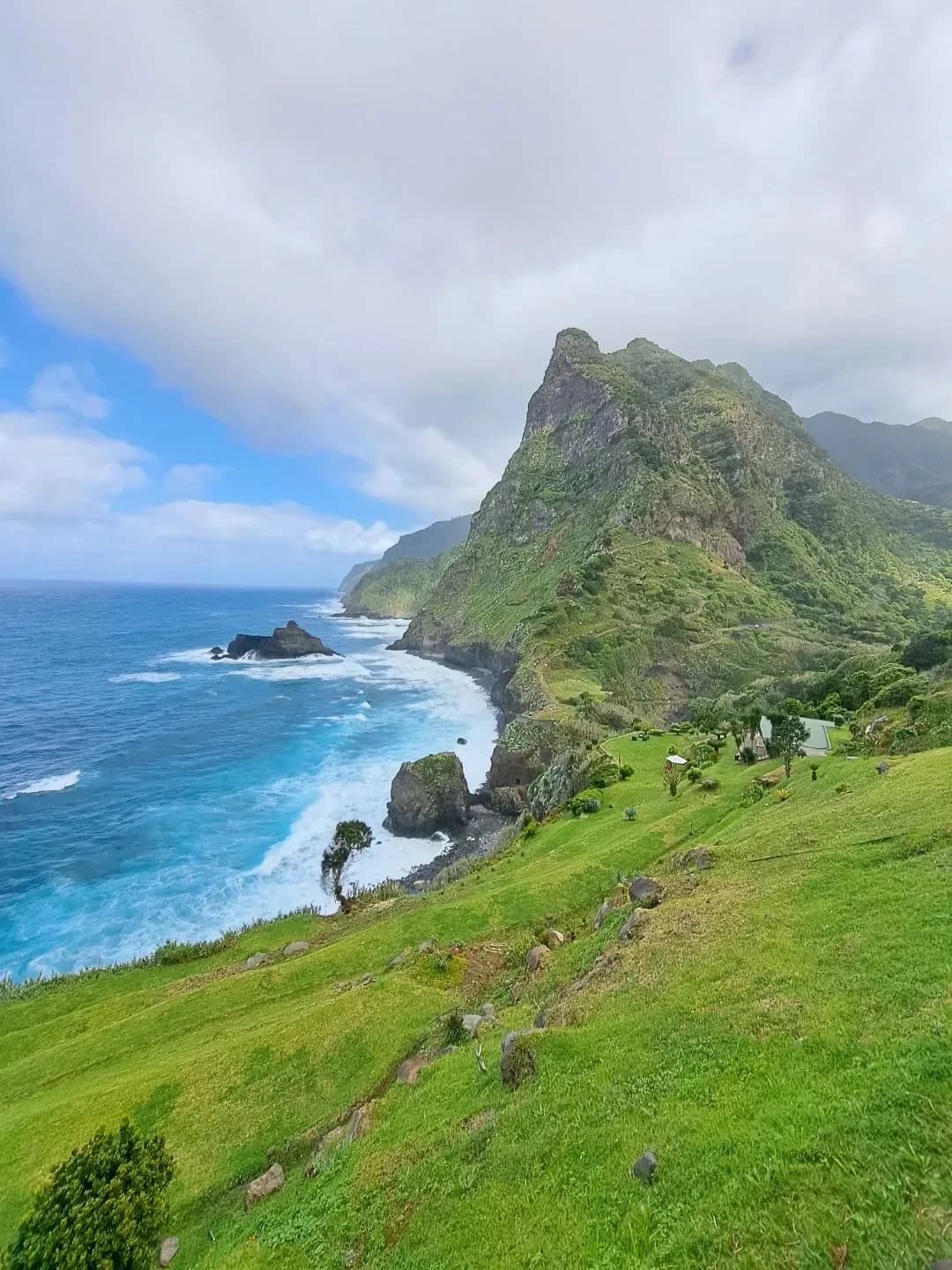
We love this walk because it's incredibly varied and offers magnificent views of Madeira's north coast. With the elevation involved, you’ll want a solid basic fitness level to really enjoy it.
The Cabo Aéreo Café restaurant is a great starting point, where you can stop for refreshments before or after the walk or simply enjoy a drink with a view of the north coast. The first part of the walk is a descent down an uneven cobbled path to the Calhau de São Jorge (watch your feet!). Down there, in a privileged location, a lake fed by the mountains invites you to bathe - marvellous! After bathing, we retraced our steps for a short distance and followed the coastal path over the Atlantic Ocean. With a wonderful view of the coast, the trail continues to Ponta de São Jorge, from where we climb back up to the car park of Café Cabo Aéreo. An absolute recommendation!
Important considerations on non‑PR trails
Before walking these trails, please be aware that:
-
Signage is usually patchier: you may see old wooden posts, painted marks or no waymarking at all, so reliable navigation (offline GPS, detailed app, or GPX track) is essential.
-
Maintenance is less systematic, meaning you can encounter fallen trees, landslides, overgrown vegetation or unprotected drops more often than on PR levadas.
-
Official maps and closure alerts focus primarily on PR trails, which means conditions and safety measures are not closely monitored on unclassified paths.
-
Because these paths are not staffed or routinely checked, you must be more self‑reliant: check the weather, carry proper gear and enough water, and turn back early if terrain or exposure feels beyond your comfort level.
How the Madeira Unlocked app helps

In the Madeira Unlocked app, hiking is split into two clear categories: Hikes (PR trails) for official, regulated routes, and Hikes (Non‑PR trails) for free, non‑regulated alternatives. This separation lets you quickly see which hikes require booking and payment and which remain fully flexible, while still browsing them on the same island‑wide map.
For non‑PR hikes, the app focuses on practical details that matter more off the official network: approximate difficulty, distance and elevation, usual terrain type, and any notes about navigation challenges or exposure.
These hikes are all curated with care, by people living on the Island, to bring you the best hiking experiences in Madeira.