
Daniel’s Levada Directory
Levada do Paul 2
Also known as Levada da Bica da Cana, Levada Pequena da Camara de Carga, Levada Pequena do Paul
Archival documentation — not a current hiking recommendation. Source file on danishome.ch last modified: 23 June 2025
Area
Paul da Serra
Length
13 km
Year built
1953
Madrei
Ribeira do Juncal N 32°44.550 W 17°04.050 ca. 1430 m a.s.l.
Course
Scenic, along the edge of the Cascalho, over a first stream crossing, then the inflow of the Levada do Paul 2 sup. from the north. It can be followed in the picture below, from the rise with the huge wind turbine:
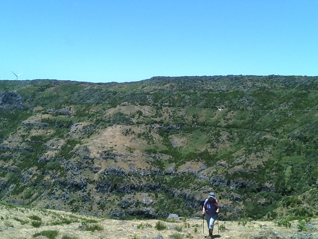
On along the Cascalho, with levada steps, to the junction with the gravel track that leads into the Cascalho. After that a fine stretch looking west into the Cascalho. Another steep section and the crossing of the gravel track that drops down to Covas, then the inflow of a small feeder levada, the inflow of the Levadinha da Serra in the area of Cristo Rei, crossing of the ER-209, 2 stream crossings, then along below the Loiral wind and solar park. Crossing of a gravel track and of the road that drops from the ER-110 to Arco da Calheta. Final section to the Capela de Nossa Senhora de Fatima and, shortly after, the confluence with the Levada do Paul 1. With that terminal branch on to the Camara da Carga; from here the water is pumped up by 2 pumps to the Pico da Urze reservoir of the Calheta III power station (from 2020).
Until 2020 the water was led straight from the Camara da Carga through 2 pressure pipes into the Calheta I power station. Those pressure pipes have now gone, replaced by the new pressure pipes to the Calheta III power station.
End
Reservoir at the Casa da Carga ca. 1280 m a.s.l.
Function and use
Feeder to the modified Camara da Carga of the Calheta III power station
Access
-
Via the Levada da Serra from Bica da Cana or Pedras
-
Pathless, and on traces of a path, from the solitary wind turbine above the Madre
-
Gravel track that branches off the ER-209 (a wind turbine now stands there as well) and leads into the Cascalho; it can also be reached from the south via the Levada de Marques Teixeira.
-
Gravel track from the ER-209 to Covas
-
Crossing of the ER-209
-
Gravel track to the Louros solar and wind park from the ER-110; before the solar park, keep to the west!
-
Gravel track from the ER-110
-
Crossing of the road that branches off the ER-110
-
Via the gravel track that leads from the ER-110 or from the Rabacal car park to the confluence with the Levada do Paul 1.
Condition
Easy; sure footing required. The Levada do Paul sup. is heavily overgrown, can only be reached pathless, and is hard going. The feeder to the main levada is dry; the water runs a few metres off to the side, towards the Madre.
Remarks
Because of the many cattle grazing here, people also call it the "cow levada"; sometimes it takes a bit of determination to get any further!
In 2019/2020 the levada was upgraded for use in the Calheta III power station, above all in the first stretch, and the walls were raised slightly.