
Daniel’s Levada Directory
Levada de Marques Teixeira
Archival documentation — not a current hiking recommendation. Source file on danishome.ch last modified: 22 July 2024
Area
South coast/Southwest
Length
5,5 km
Year built
Between 1942 and 1955
Madrei
Rabacas gallery below Cascalho N 32°44.517 W 17°04.715 (length 1.5 km, output 8640 m3/day) ca. 1070 m a.s.l.
Course
This is no longer a classic open levada. A pipe supplying drinking water to parts of the south coast has been laid along the old levada. The former Madre of the levada has been heavily built over in concrete and connected by a further pipe to the intake gallery on the Cascalho track. On this stretch the path runs a little exposed and narrow alongside some pipe covers, as far as the old Madre. After that it descends the western edge of the Cascalho in countless hairpins, with a minimal gradient. In winter especially, there are waterfalls to admire at every crossing of the tributaries of the Ribeira da Ponta do Sol. The path reaches the gravel track from Cristo Rei to Covas, and a short time later the water flows into the Reservatorio das Rabacas. This can be seen on the latest Google Earth imagery (from 2010), but not on Google Maps. Here the water is treated and fed into the drinking-water system.
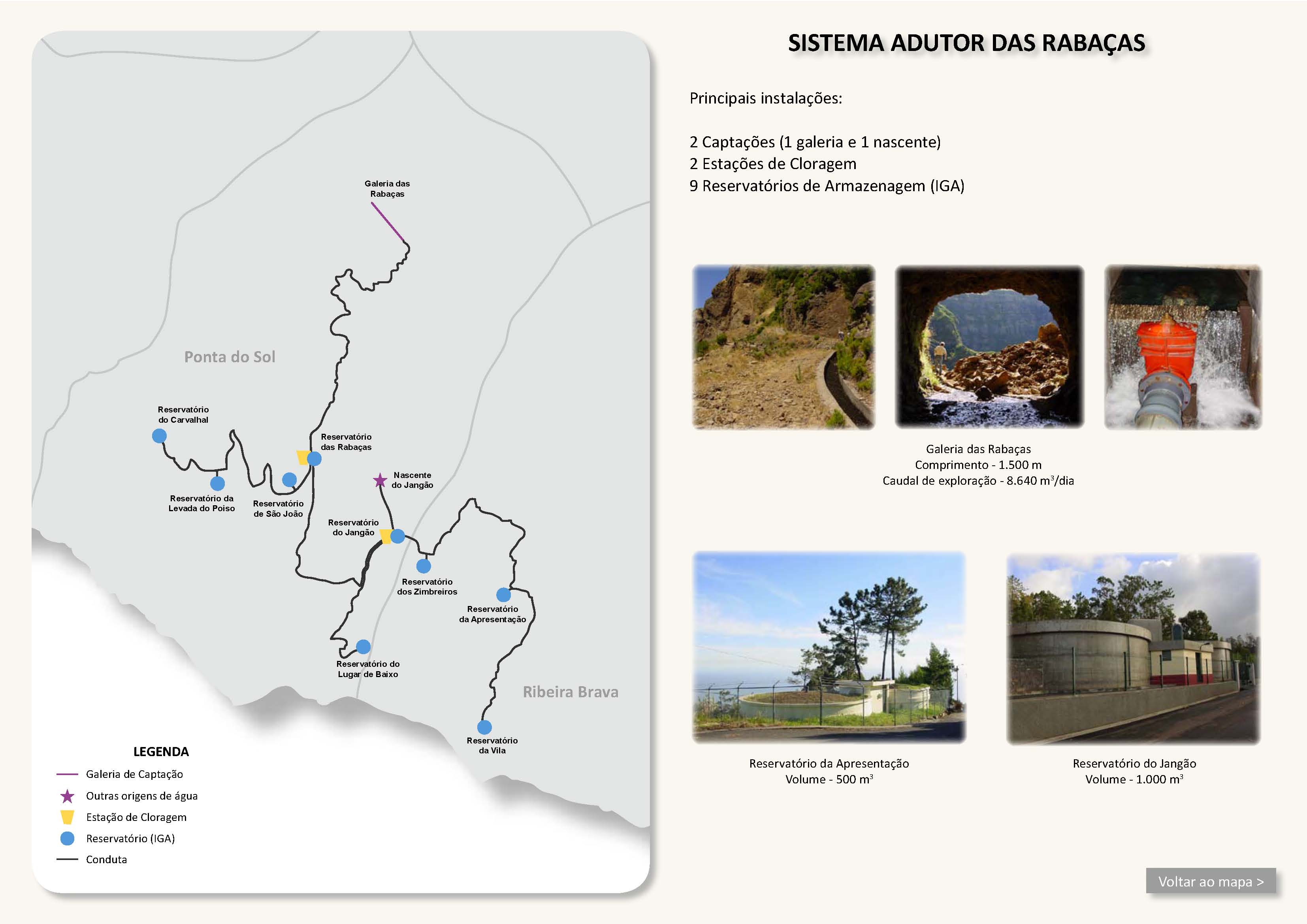
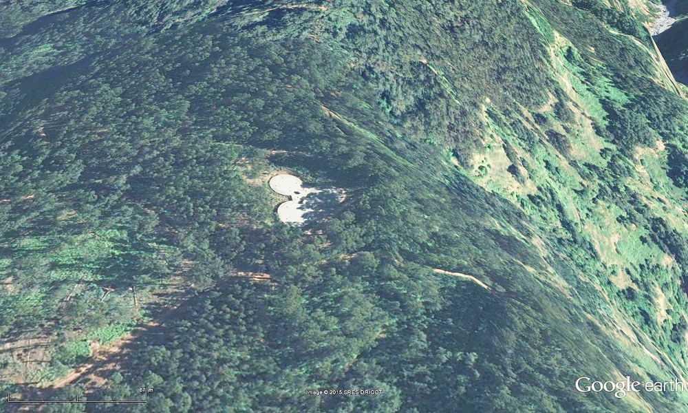
From the reservoir a tarmac road leads to Covas. Along this road, surplus water is led in the roadside ditch into the old reservoirs above the Levada Nova and used there, below the new levada, to irrigate the local fields.
End
Covas (Reservatorio das Rabacas) ca. 550 m a.s.l.
Function and use
Drinking-water supply for the district of Ponta do Sol; formerly, and today only marginally, irrigation of the fields in Covas
Access
-
After the kinked tunnel of the Levada das Rabacas (with a levada crossing it), turn right to the levada
-
From the Rabacas gallery a path along the buried pipe leads to the old Madre.
-
Up through Covas, past the water silo. Then on the gravel track north to the levada junction
-
On the gravel track down from Cristo Rei to the crossing with the levada. The gravel track is joined from the
The levada is straightforward from Covas to where the track branches off to the tunnel on the Cascalho track.
From here to the old Madre it is a little overgrown and boggy, but not dangerous.
From the old Madre to the gallery, first a little exposed around the stream works; then you have to keep your eyes open to find the path (it goes up steps). Soon you see a pipe cover, and then you are on the right line. From here a little exposed, on a narrow trodden path, to the gallery.
Remarks
- Together with the Nascente do Jangao, the Rabacas gallery is the backbone of the water supply for the district of Ponta do Sol and western Ribeira Brava
- Even without a water channel, walking this levada is a pleasure, with the fine views!