Daniel’s Levada Directory
Levada das Rabacas
Also known as Levada das Rabaças
Archival documentation — not a current hiking recommendation. Source file on danishome.ch last modified: 20 July 2025
Area
Cascalho, Encumeada-Pass
Length
7.5 Km
Year built
1953
Madrei
Along the gravel track that comes down from Paul da Serra, N 32°45.250 W 17°05.600 ca. 1300 m a.s.l. The place of the actual Madre is hard to pin down, because it changes with the rainfall. A steady flow of water just before the basin; when it is wet, already on the way from Cristo Rei
Course
The course of the levada can be divided into 3 sections:
Section 1:
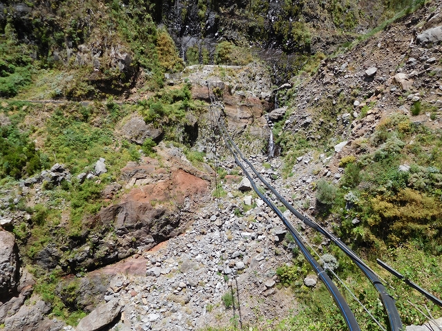
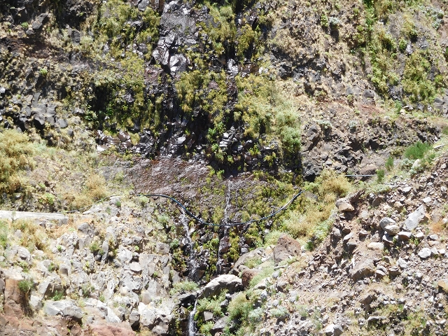
Access road from Paul da Serra, old barracks from the time the levada was built, a winding tunnel along which the levada switches from one side to the other, just after the tunnel a descent path to the Levada de Marques Teixeira, on along the gravel track, a collecting basin, and the further course piped along the track. Galeria das Rabacas on the left-hand side (in the direction of descent), 2nd descent path to the Levada de Marques Teixeira along the buried pipe. I could not tell whether water from the Rabacas gallery is led into the Levada das Rabacas, since both lines run underground. As far as the first Cascalho basin, mini levadas in three places, fed into the levada that runs underground. In the front pipe section the destroyed part in the first basin is bridged. The old levada continues into the basin to the place where the landslide came down. In addition, via a rear pipe section, water is led straight from the basin to the end of the eastern levada. The intake in the basin is in turn supplied with water by a pipe system. In addition, the water falling straight down is caught in a concrete channel.
Section 2:
From the landslide to the rear pipe section an old overgrown stretch of levada is still standing; the stretch from the rear to the front pipe section is covered with concrete slabs. From the front pipe section, open levada as far as the second Cascalho basin, fine views with various angles into the Cascalho! Entrance of the long tunnel (2,35 km) to below Lombo do Mouro. Before that a small feeder levada joins the Levada das Rabaças. The Madre is on the descent path from Pedras.
Section 3:
Tunnel exit as far as the confluence with the Levada do Norte (Nord). At the eastern tunnel exit a small feeder levada joins the Levada das Rabaças. The present Madre is beside the descent path from Lombo do Mouro, but the levada continues further along the stream.
The levada passes one of the finest levada houses, then somewhat exposed as far as a shorter tunnel (Túnel do Pico das Furnas, ca. 280 metres). At its exit a provisional gravel track comes down from the ER-110. A new stream-control works was also built here in the Ribeiro do Choca, with a feed into the levada. On through open woodland, with fine views, to the end
End
Confluence with the Levada do Norte Nord ca. 980 m a.s.l.
Function and use
Feeder to the Serra de Agua power station (via the Canal do Norte)
Access
Section 1:
-
From Cristo Rei via the Levada do Paul 2 or the gravel track from the ER-209
-
2 ascents from the Levada de Marques Teixeira from the gravel track from Cristo Rei to Covas
Section 2:
-
Via the old access road from Pedras to the western tunnel exit, only for the keen; not really dangerous, but an awkward scramble and very wet (walk 2015)
-
Tunnel from the Lombo do Mouro side
Section 3:
-
Narrow descent path to the feeder levada at the eastern exit of the long tunnel, from the 'Sergio sign'. To here from
-
Faja das Eguas
-
Lombo do Mouro, and to there via the
-
-
Canal do Norte from the Encumeda Pass
Condition
Section 1: easy, somewhat exposed before the pipes; the old levada as far as the landslide is at risk of rockfall and not maintained, somewhat exposed
Section 2: levada from the pipes to the landslide site intact, because further back another 2 pipes come in directly from the basin, then buried; levada path as far as the tunnel intact, protection partly missing, in places somewhat exposed; tunnel very comfortable (dry, height fine, but very long!)
Section 3: the descent from Lombo do Mouro is not easy to find, exposed in places; from the Encumeada Pass, moderate (a few somewhat exposed spots)
Remarks
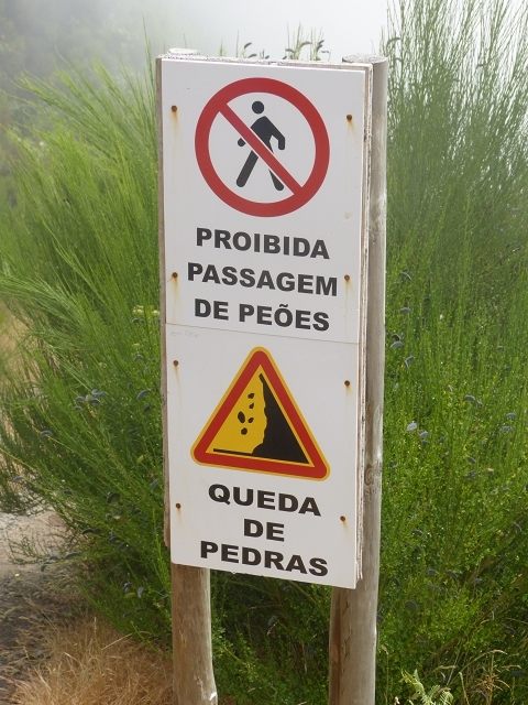
- The descent from Cristo Rei and the long tunnel are officially closed
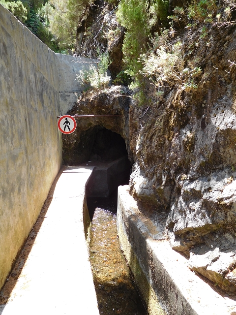
- After the storm of 2010 the levada course in the first basin was buried, and has since been bridged with a pipe connection. (Pictures of the work on the levada, 2012).
-
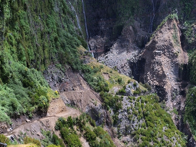
The fires of 2012 badly affected the part from the end to the long tunnel (pictures 2012)
-
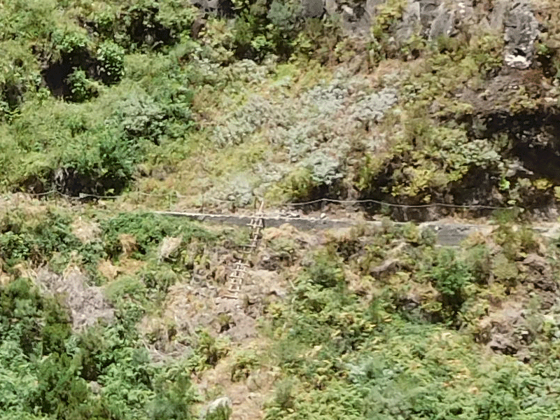
I could imagine that a passage of the landslide is possible. On the disused western stretch of levada a ladder could be seen in 2015, which might lead onto a trodden path on which one could cross the slipped section. Pathless in places too. Quite at risk of rockfall, though. I have not tried the passage! In 2016 I stood on the west side: the ladder has since been destroyed and the ground as far as the stream is fairly overgrown. The east side also looks very inaccessible!