
Daniel’s Levada Directory
Levada da Faja do Rodrigues
Also known as Levada da Fajã da Ama, Levada da Fajã do Rodrigues, Levada Nova do Inferno
Archival documentation — not a current hiking recommendation. Source file on danishome.ch last modified: 19 July 2025
Area
Sao Vicente/Northwest
Length
9,4 km
Year built
1952
Madrei
Ribeira do Inferno N 32°47.300 W 17°04.600 ca. 680 m a.s.l.
Course
The Levada da Faja do Rodrigues can be divided into 3 sections:
Section 1: Madre in the Ribeira do Inferno, a damp levada stretch ca. 100 metres long, a long tunnel as far as the Ribeira do Passo, then on, somewhat exposed and damp, through a small tunnel. A little later the path from the Levada do Paino Velho and the Levada do Norte comes down from the upper right. After a short stretch and a bend to the right, before the next tunnel, the path to the Madre of the Levada do Lanço branches off. Through 2 medium tunnels, with a fine view between them towards Sao Vicente and the surroundings. Increasingly exposed, but well protected, on over the great Caldeirao and the large stream-bed structure, then over a stretch of path that runs above a gravel track which, at the first hairpin below the Faja da Ama water treatment plant, branches off from the gravel track that climbs from Ginjas to Estanquinhos.
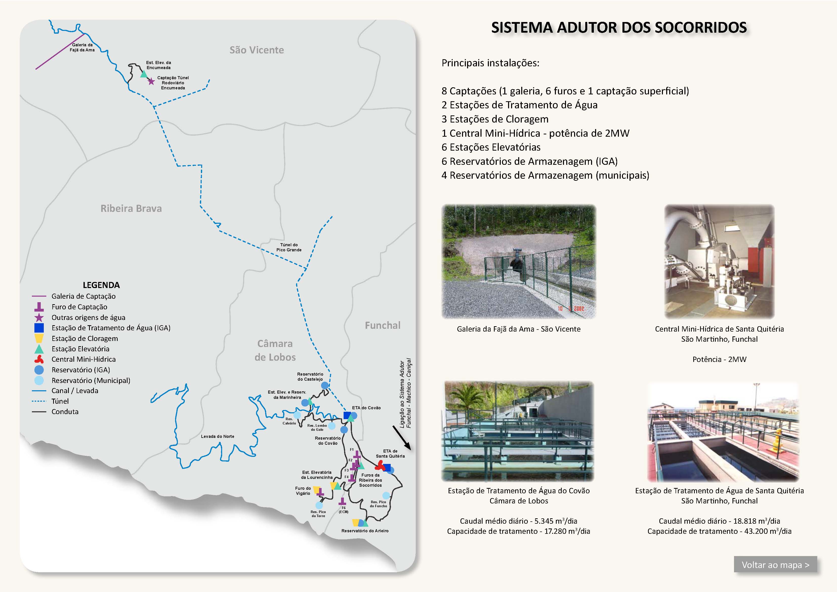
Passage of the inflow of the Faja da Ama tunnel, whose entrance can be reached by a small path. The tunnel itself is not accessible! On above the Faja da Ama water treatment plant as far as the Ginjas–Estanquinhos gravel track.
Section 2: From the gravel track, first along small houses and a large reservoir, then through eucalyptus woods, passage of the stream-bed structure in the Ribeira Seca, through a longer winding tunnel, over 2 water cascades to the point where the road from Cova da Ribeira (northern end of the VE-4 tunnel) comes up. Here is the end of the pipeline that pumps water up from the intake (Furo do Vigario), in the area of the northern section and of the exit of the road tunnel (Estação Elevatória da Encumeda, immediately on the right at the northern tunnel exit of the VE-4); then on over a water cascade along a gravel track. Inflow from the Ribeira da Vargem, then straight away the entrance of the closed tunnel.
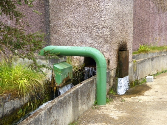
Section 3: From the passage of the Ribeira da Vargem, a tunnel that leads first towards the south-east. I am not sure whether a short intermediate stretch runs above ground there. Here an inflow through a tunnel 1.8 km long from the Ribeira Grande de Sao Vicente. The tunnel then runs parallel to the Encumeada road tunnel to the Serra de Agua power station; water is taken in along the whole course of the tunnel.
End
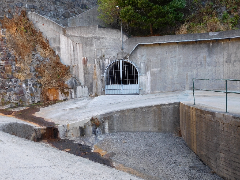
Serra de Agua power station (balancing reservoir below the generator house) 568 m a.s.l.
Function and use
Irrigation of the areas above Sao Vicente (Ginjas, Achada do Loural) and a supply of water to the Socorridos drinking-water system and to the Socorridos power system
Access
Section 1:
-
Descent from the Levada do Paino Velho and the Levada do Norte (a rough descent, in part very slippery and at times exposed! (see walk 2015))
-
Access from the Madre of the Levada do Lanço; see also Amigos da Natureza
-
Ascent from the present Madre of the Levada da Ginjas in the area of the gravel track that runs west of Faja da Ama, a little below the Levada da Faja do Rodrigues (I have not walked it myself!)
-
Gravel track from Ginjas to Estanquinhos
Section 2:
-
Descent from the Levada do Norte (see walk 2015 or walk 2013)
-
Ascent from the end of the VE-4 tunnel ('exit' and over the bridge as far as the end of the road).
Section 3:
-
The closed tunnel to the power station can only be travelled by boat!
-
I could imagine that from this house on the ER-228 (old pass road to the Encumeada pass), or a little further south on the pass road at the first hairpin, there is access to where the main tunnel and the Ribeira Grande tunnel meet, because the Ribeira Grande tunnel was only built later and the other, similar tunnel systems are always broken by above-ground intermediate stretches as well.
-
The intake in the Ribeira Grande can be reached on a gravel track (old works access, closed by a barrier) from the ER-228 (a short stretch of the PR-21). The gravel track can also be reached by a path from the miradouro on the ER-228, or 60 metres further up, likewise by a path from the ER-228.
Condition
Section 1: moderately difficult, a few somewhat exposed spots, but they are well protected; the long tunnel is at times covered with concrete slabs, but at times very narrow and low. Around the Madre it is a little slippery!
Section 2: an easy walk; the two cascades are bypassed by a gravel track that ends at the tunnel entrance. The levada path along the steps can be walked too, a little slippery, but not dangerous. The tunnel winds, but it is very comfortable to walk; a lamp is still needed, because you cannot see the end!)
Remarks
-
The Levada da Faja do Rodrigues was built in 1952 as the Levada do Paino Velho and formerly served above all for irrigation. In 1994 it was connected to the balancing reservoir below the Serra de Agua power station and has been part of the Socorridos power system since then.
-
In 2002 the Galeria Faja da Ama was opened. During exploratory drilling a reservoir of hot water was struck; the exploratory tunnel had to be redesigned and surveyed again. The water from the gallery is still a few degrees warmer than the water in the levada. This shows especially clearly in the colder season (steam).
-
In 2003 the tunnel to the Ribeira Grande de Sao Vicente and the intakes at the entrance of the Encumeada road tunnel were built, and with that the capacity was raised considerably.